Iris Simmons · 3 November 2026
Volcanic Regions Exhibit Distinct Electromagnetic Behaviors During Eruptive Periods
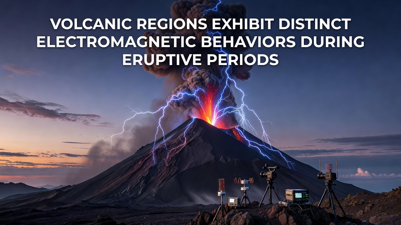
Volcanic regions generate measurable electromagnetic variations as magma ascends through crustal fractures, and these patterns intensify during eruptive phases according to data compiled by multiple observatories. Researchers track fluctuations in electric fields and magnetic signatures that arise from fluid movement, gas expansion, and piezoelectric effects within stressed rock formations. Studies from the United States Geological Survey indicate that such signals often precede visible surface changes by hours or days, allowing early detection when instruments are properly positioned.
Mechanisms Behind Electromagnetic Signals
Magma carries charged particles that interact with surrounding minerals while rising, and this interaction creates low-frequency electromagnetic emissions that instruments can record at distances of several kilometers. Gas bubbles bursting within the conduit further modulate these fields because rapid pressure changes alter local conductivity. Observers note that the amplitude and frequency content shift noticeably once an eruption begins, whereas pre-eruptive phases tend to show more sporadic bursts tied to rock fracturing.
Additional contributions come from electrokinetic effects where groundwater migrates under pressure gradients, and these currents produce measurable voltage differences across electrode arrays. Data collected through November 2026 at several Pacific Rim sites confirm that signal strength correlates with eruption rate, although the precise relationship varies by volcano composition and tectonic setting.
Case Studies From Active Systems
At Mount Etna in Italy, continuous monitoring arrays have documented distinct electromagnetic spikes that coincide with lava fountaining episodes, and similar patterns emerged during the 2021 activity sequence when researchers compared field measurements against seismic records. In Iceland the Meteorological Office maintains stations around the Reykjanes Peninsula, where electromagnetic anomalies preceded the 2023-2024 fissure openings by detectable margins. Japanese networks operated by the Meteorological Agency likewise report consistent changes in telluric currents ahead of eruptions at Sakurajima, demonstrating that the phenomenon appears across different volcanic arcs.
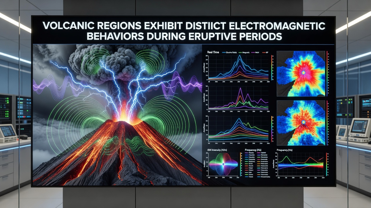
One study revealed that broadband magnetic sensors placed within five kilometers of the vent captured ultra-low-frequency pulses whose energy increased by several orders of magnitude during the opening phases of explosive events. Those who've studied these datasets find that combining electromagnetic readings with gas emission rates and ground deformation improves eruption forecasting windows, although single-method reliance remains insufficient for reliable alerts.
Monitoring Technologies and Data Integration
Modern arrays employ magnetotelluric stations alongside self-potential electrodes and induction coils to capture the full spectrum of volcanic electromagnetic activity. Real-time telemetry transmits readings to central facilities where algorithms compare incoming traces against historical baselines. The Geological Survey of Canada has contributed long-term records from the Cascade Range that help calibrate models for andesitic systems, while Australian researchers have applied similar techniques at Heard Island to test equipment in remote sub-Antarctic conditions.
Integration with satellite-based total electron content measurements further extends coverage because ionospheric disturbances sometimes accompany large eruptions, and cross-validation between ground and space data strengthens event attribution. Figures from the European Plate Observing System show that dense station spacing below ten kilometers yields the clearest separation between eruptive signals and background noise.
Implications for Hazard Assessment
Electromagnetic monitoring supplements traditional seismic and geodetic methods because the signals propagate through conductive pathways that seismic waves may bypass. When networks detect sustained increases in specific frequency bands, civil protection agencies can adjust alert levels earlier. Research indicates that combining these datasets reduces false alarm rates at well-instrumented volcanoes, although interpretation still requires expert judgment on local geology.
Long-term archives now span multiple eruptive cycles at several sites, and analysts continue refining statistical thresholds that distinguish eruptive electromagnetic behavior from diurnal or storm-related variations. Such refinements support more precise risk maps for communities living on volcanic flanks.
Conclusion
Electromagnetic signatures in volcanic regions provide an expanding window into subsurface dynamics during eruptive periods, and ongoing deployments across diverse tectonic settings continue to refine the understanding of these processes. Coordinated efforts by agencies in North America, Europe, and Asia demonstrate that multi-parameter monitoring improves situational awareness when signals are interpreted within established geological contexts. Continued expansion of sensor networks and data-sharing protocols will likely enhance the reliability of forecasts derived from these measurements.